Day 12: above the clouds
90 km
Ascent: 1354 m
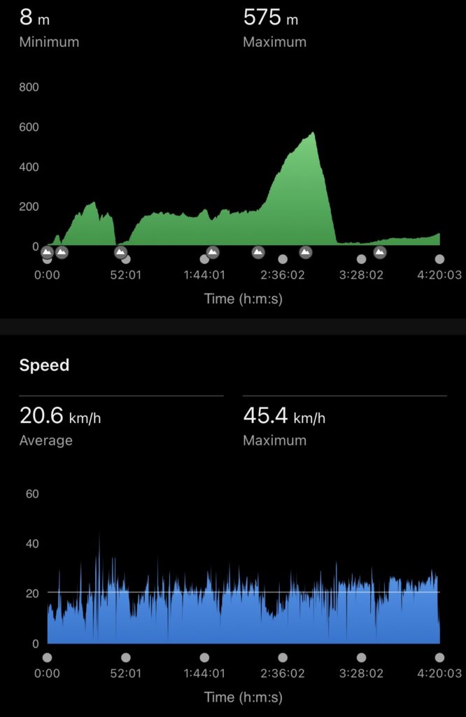
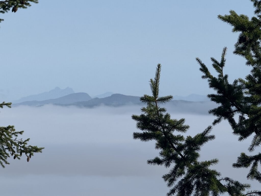
Started in the fog today and climbed until we were above the marine layer. Gorgeous riding along the waterway – undulating terrain. Came across a sign that said Campbell River was only 80 km that-away, but somehow Rob found a way for it to be 180km away creating today and tmrws rides (WTH eh?).
We knew we had a big climb today and around the 50 km mark we started up, including an 18% grade section. I said to Farid is this the big hill? He said no…..and I thought f-me….only to note after another few km uphill that it was the big hill. After even a few more km of uphill I said to Farid are we at the top…and he said yes….only to climb for another few km
……sigh
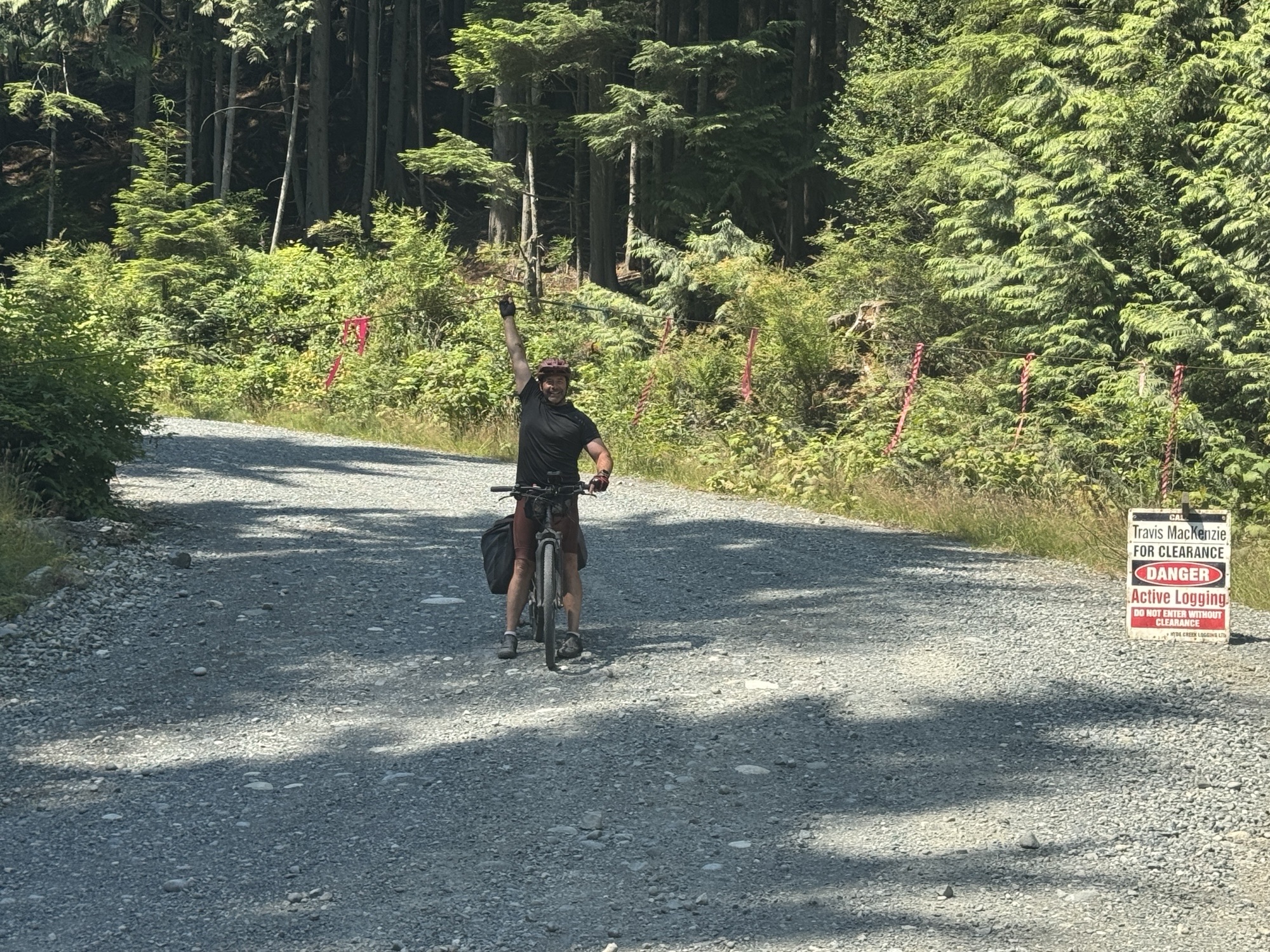
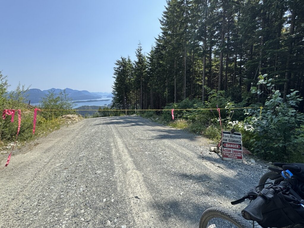
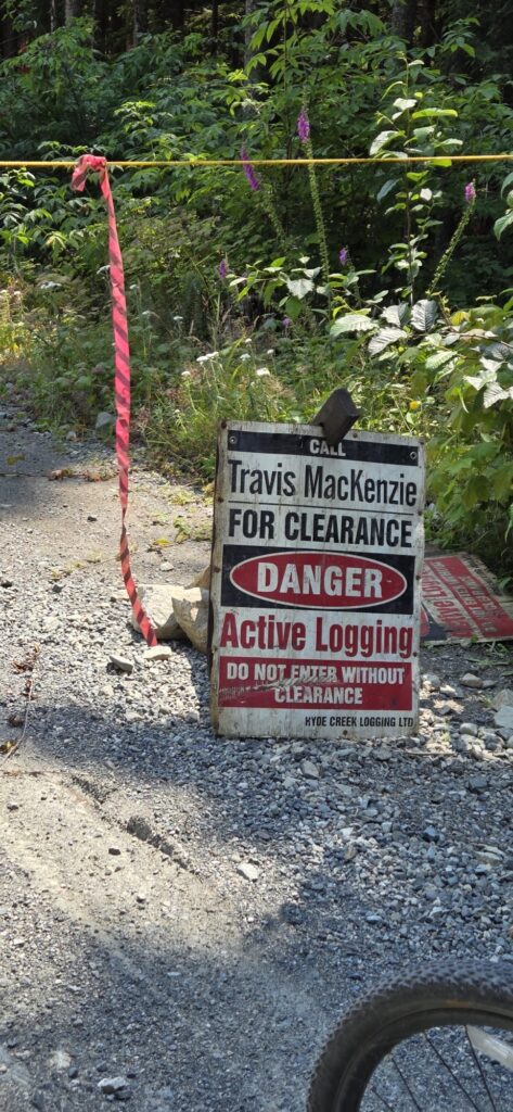
Then we came to the downhill which was the steepest we’ve done yet on this trip. About 1/3 of the way down we came across this sign…and continued anyway….thankfully we were on a closed section only for a brief period of time.
We met up with Will and Perry at the 75 km mark and they had locally made outrageous ice cream cookies which made all the pain go away.
At the 90 k mark we rolled into horse camp. Glorious campsite on an active horse ranch. Will made round after round of quesadillas for appys, tacos for dinner and, if I can make them with the ingredients we have, Soma choco chip cookies for dessert.
Heather
4 Responses
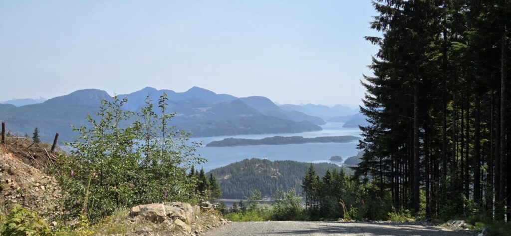
Love that last picture of you guys above the marine mist.
No picture of the cookies?????
Almost there!!! LMAO! Never ask. I have learned when that is the answer received, reality is likely the opposite. But you know that too =)
What a pretty road and the fog looks awesome.
The views are spectacular!! Glad the climb was worth it and that no one was injured on the descent.
🚴🫁🫀☀️🌎